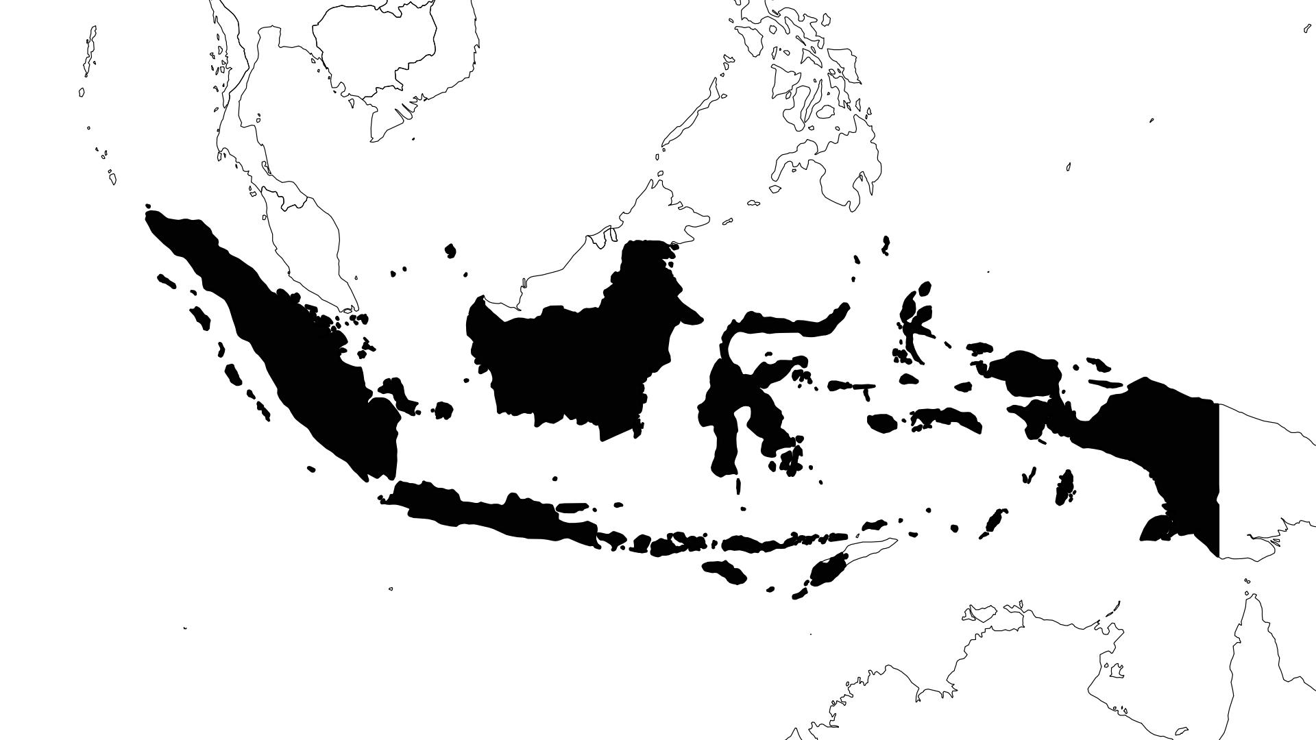
10/11/2026 - Earthquake in Gorontalo, Indonesia
Event Characteristics



| Date & Time | Oct. 11, 2026, 9:34 p.m. |
|---|---|
| Magnitude | mw 5.3 |
| Latitude | 0.53 °N |
| Longitude | 121.70 °E |
| Depth | 103.6 km |
| Last Update | 2026-10-12 |
| Share | Tweet |
Similar Events
Mw 6.2
Depth= 67 km
5.63°N 125.19°E
2020/03/26 16:38, 6 years, 6 months ago



Thu 14 Jan 2021, 5 years ago
Mw 6.2, 10 km, -2.98°N 118.94°E

Thu 19 Sep 2019, 7 years ago
Mw 6.2, 626 km, -6.03°N 111.85°E

Sun 29 Sep 2019, 7 years ago
Mw 6.2, 89 km, 5.72°N 126.58°E

Sat 22 Apr 2023, 3 years ago
Mw 6.2, 10 km, -5.29°N 125.57°E