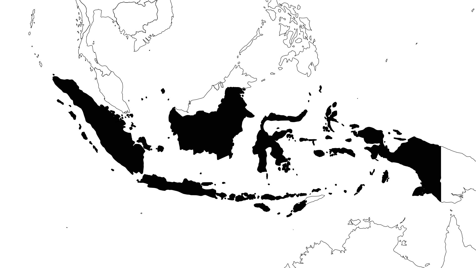
10/24/2026 - Earthquake offshore Papua Barat, Indonesia
Event Characteristics



| Date & Time | Oct. 24, 2026, 9:41 p.m. |
|---|---|
| Magnitude | mb 4.9 |
| Latitude | -0.33 °N |
| Longitude | 132.27 °E |
| Depth | 10 km |
| Last Update | 2026-10-27 |
| Share | Tweet |
Similar Events
Mw 5.8
Depth= 10 km
9.22°N 126.73°E
2020/09/21 00:13, 6 years, 1 month ago



Fri 12 Jul 2019, 7 years ago
Mw 5.8, 7 km, 9.32°N 126.08°E

Wed 16 Jun 2021, 5 years ago
Mw 5.8, 10 km, -3.53°N 129.50°E

Sat 28 Aug 2021, 5 years ago
Mw 5.8, 10 km, -3.51°N 140.11°E

Mon 11 Oct 2021, 5 years ago
M 5.8, 64 km, 0.76°N 126.13°E